You know about Mont Blanc 🇫🇷, Kilimanjaro 🇹🇿, and Aconcagua 🇦🇷. 🏔️ And how about the Tian Shan Mountains? 🇰🇿🇰🇬🇨🇳

The world is a mountain. Whatever you say, it will echo it back to you - Jalāl al-Dīn Muḥammad Rūmī, or simply Rumi (1207 - 1273), Greater Persia.
🌍 While Mont Blanc, Elbrus, Kilimanjaro, and Aconcagua are celebrated for their grandeur, the Tian Shan remains a majestic mystery. Let's delve into this hidden gem compared to some well-known peaks!
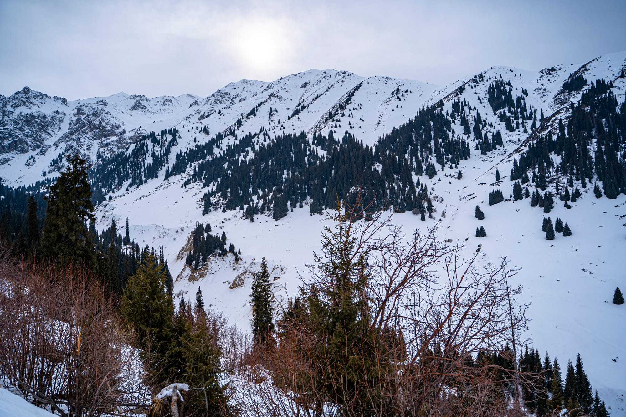
1️⃣ Where Are The Tian Shan? 🌏
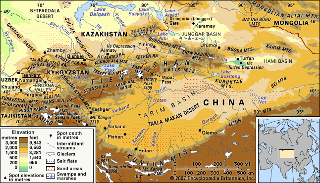
Nestled between Kazakhstan 🇰🇿, Kyrgyzstan 🇰🇬, Uzbekistan 🇺🇿, and China 🇨🇳, the Tian Shan acts as a natural boundary between the Taklamakan Desert and the Tarim Basin. In Western cartography, the range extends from Ürümqi - which is the second-largest city in China's northwestern interior after Xi'an as well as the largest in Central Asia in terms of population - with the Bogda Shan and Barkol Mountains to the east. Its eastern end usually starts from about 600 to 400 kilometers east of Ürümqi.
2️⃣ When Did The Tian Shan Mountains Form? ⏳
Way before Instagram and TikTok. 🤭 The Tian Shan formed in the Cenozoic era, around 55 million years ago. The Cenozoic period was preceded by the Mesozoic (252 to 66 million years ago), during which Dinosaurs lived 🦕. They went extinct between the Mesozoic and Cenozoic periods. That is why this inter-period is called the period of mass extinction. FYI, until today, we - humans - are still living in the Cenozoic period which started 66 million years ago.
3️⃣ How Did The Tian Shan Form? 🌋
In summary, the Tian Shan, formed by the collision of Indian 🇮🇳 and Eurasian 🌏 plates in the Cenozoic era, stretches approximately 2,900km from Tashkent, Uzbekistan 🇺🇿, to Ürümqi, China 🇨🇳. It's a part of the Himalayan orogenic belt and boasts the highest peak, Jengish Chokusu, towering at 7,439m. Glaciers in these mountains have been rapidly shrinking, losing 27% of their ice mass since 1961, signaling significant environmental changes.
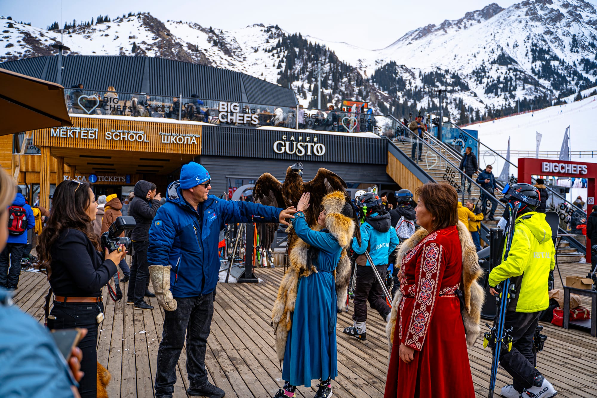
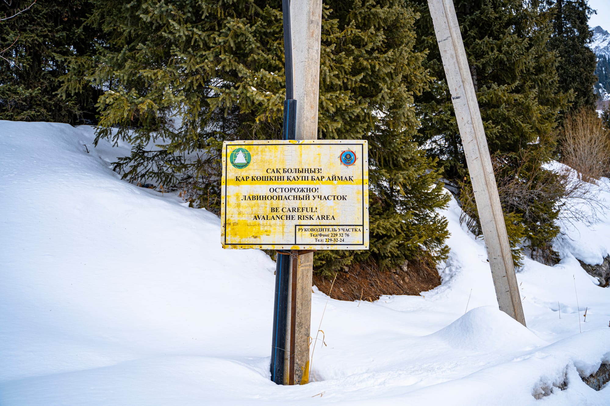
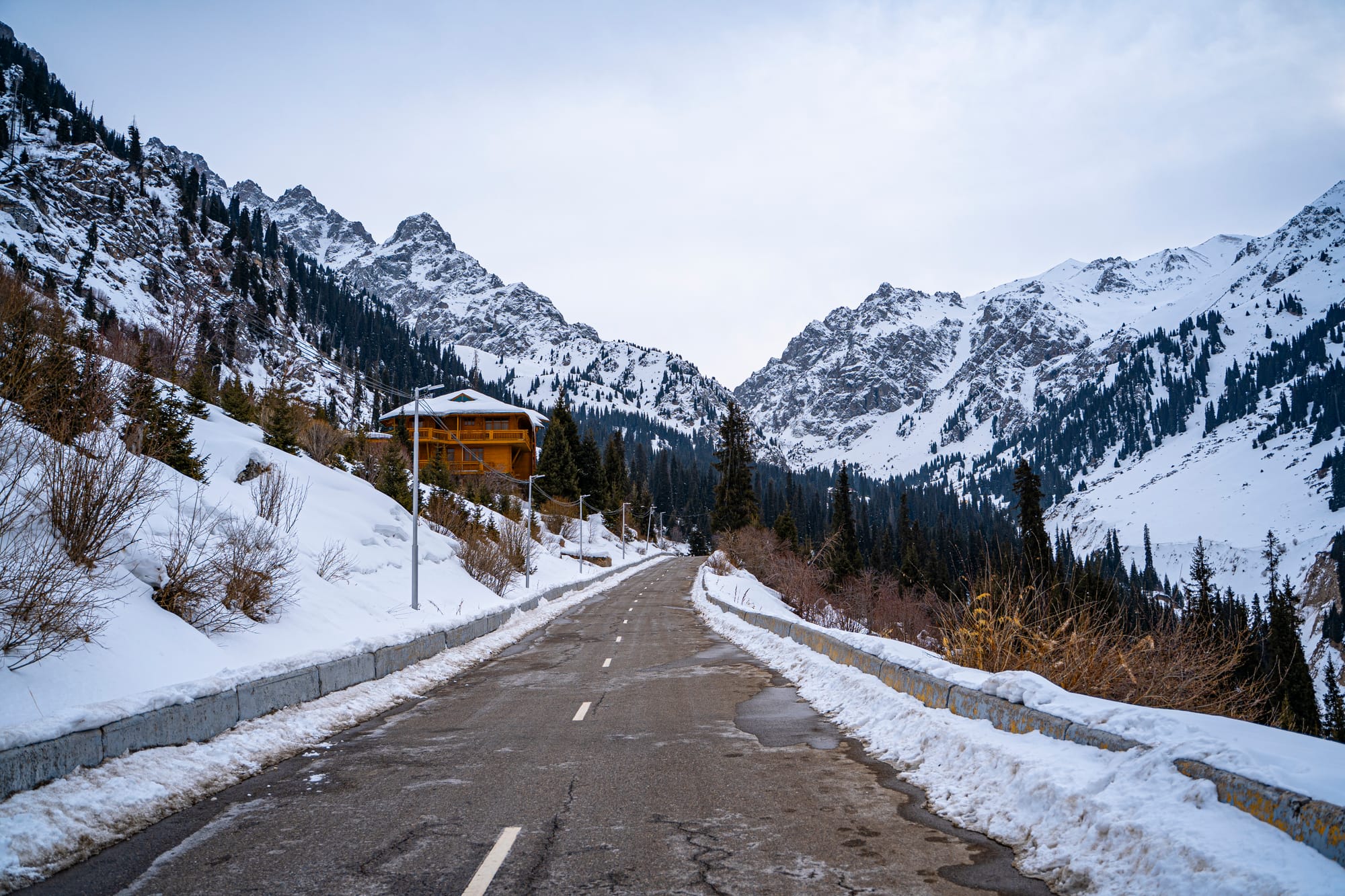
Watch this mystery water jet I found in Shymbulak I have no idea what phenomenon has caused this high pressure jet to form. 🤔🇰🇿
But what initiated the formation process of the Tian Shan mountains and the Himalayas? 🌋
Approximately 140 million years ago, the Indian Plate was a component of the supercontinent Gondwana, alongside present-day Africa, Australia, Antarctica, and South America. The breakup of Gondwana occurred as these landmasses gradually separated at varying speeds, resulting in the formation of the Indian Ocean.
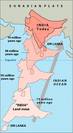
During the late Cretaceous period, around 100 million years ago, after the separation of Madagascar and India from Gondwana, the Indian Plate separated from Madagascar, giving rise to Insular India. It commenced its northward movement at approximately 20 cm (7.9 in) per year and is thought to have initiated its collision with Asia as early as 55 million years ago, during the Eocene epoch of the Cenozoic era. This event happened right after the mass extinction of Dinosaurs. Note: the dates provided here are subject of debate among scientist, which we won't discuss here.
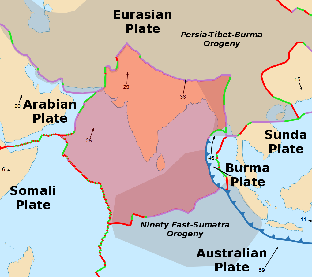
To result in this map 🗺
4️⃣ Height Of The Tian Shan Mountains 📏
Jengish Chokusu stands proud as the highest peak at 7,439 metres (24,406 ft), but Khan Tengri at 7,010m (22,998 ft), isn't far behind, making it the highest point in Kazakhstan 🇰🇿. Mountaineers consider these peaks as the two most northerly over 7,000m in the world. The Torugart Pass, at 3,752m, serves as a crucial route between Kyrgyzstan 🇰🇬 and Xinjiang, China 🇨🇳.
5️⃣ Wildlife In The Tian Shan Mountains
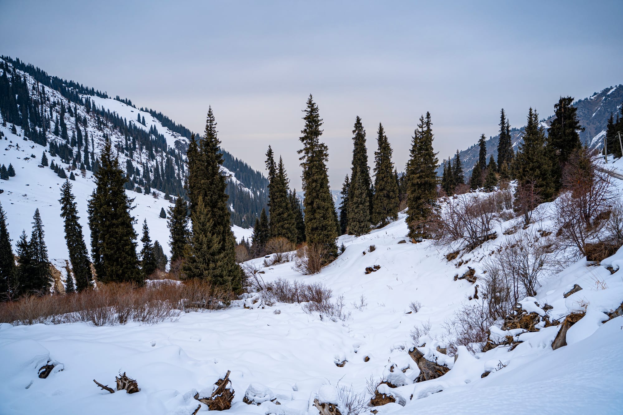
The Tian Shan is not just about breathtaking peaks; it's also a haven for diverse wildlife. 🐻 Bears, 🦌 deer, 🐗 wild boar, majestic 🦅 eagles, and many other species grace these mountains, contributing to the rich ecological tapestry of the region.
6️⃣ Ecology Of The Tian Shan Mountains
The Tian Shan holds vital forests of Schrenk's Spruce 🌲 at altitudes over 2,000m, while its lower slopes boast unique natural forests of wild walnuts and apples 🍎. This delicate ecosystem, shaped by millennia of geological and climatic changes, sustains a rich variety of flora and fauna, including the industrious bees 🐝 that thrive amidst the blossoming tulips.
7️⃣ Anecdotes
Tulips, those vibrant symbols of spring, originated in the Tian Shan Mountains. 🏔️They embarked on a journey along the ancient Silk Road 🧳, eventually becoming a cherished emblem of the Ottoman Empire 🇹🇷.
8️⃣ Summary of the tallest peaks in the world by continent 🏔️
- Asia:
- 🇳🇵 Mount Everest, located in Nepal, stands as the tallest mountain on Earth, soaring to an awe-inspiring height of 8,848 meters (29,029 feet)
- 🇰🇬🇨🇳 Jengish Chokusu, stands proud as the highest peak of the Tian Shan at 7,439 metres (24,406 ft) located at the borders between China and Kyrgyzstan
- 🇰🇿🇰🇬🇨🇳 Khan Tengri, standing at 7,010m (22,998 ft) located at the tripoint between Kazakhstan, Kyrgyzstan and China
- Americas: 🇦🇷 Aconcagua (Argentina), reaching 6,960m (22,834 ft)
- Africa: 🇹🇿 Mount Kilimanjaro (Tanzania) at 5,895m (19,340 ft)
- European (continent): 🇷🇺 Mount Elbrus (Russia) towering at 5,642m (18,510 ft)
- European Union: 🇫🇷 Mont Blanc (France) at 4,809m (15,777 ft) is the highest peak in the Alps
- Australia: 🇦🇺 Mount Kosciuszko (Australia), at 2,228m (7,309 ft)
If you prefer to read this article on Instagram, here you go 😇
🥾 Lace up your trekking shoes and get ready for an unforgettable journey through the 'Mountains of God/Heaven'! Let's cherish these natural wonders for their beauty, history, and ecological significance! Like, comment and share to spread the knowledge 🌿✨ #TianShan #NaturalWonders #ExploreTheWorld
📍Tian Shan Mountains, 🏔️ Qazaqstan 🇰🇿 - "River Newsletter".